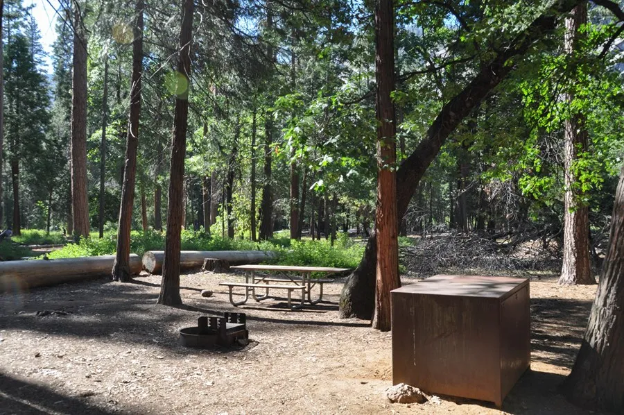
A campsite in Upper Pines Campground. · NPS Photo.
Coastlines, mountain forests, desert canyons and a place to settle in.
Choose a destination and find public campgrounds, tent sites, group camps and boondocking areas.
All eight statewide maps and detailed regional guides
A campsite in Upper Pines Campground. · NPS Photo.
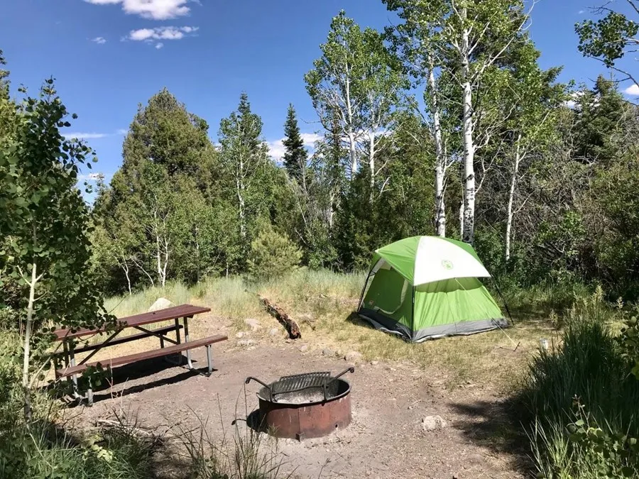
Site #8 · NPS Photo.
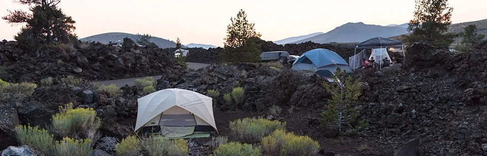
Lava Flow Campground at Craters of the Moon · NPS Photo / Jacob W. Frank.
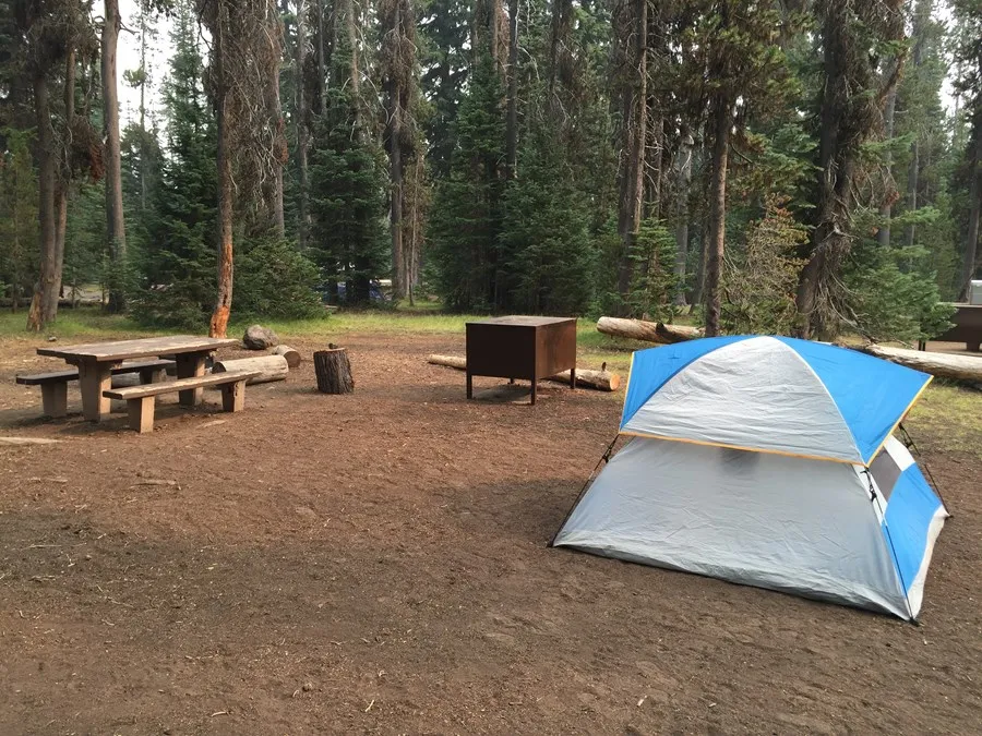
A tent campsite at Mazama Village Campground · NPS Photo.
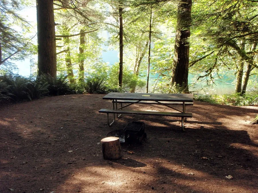
Fairholme Campground, Olympic National Park · NPS Photo/E. Goode.
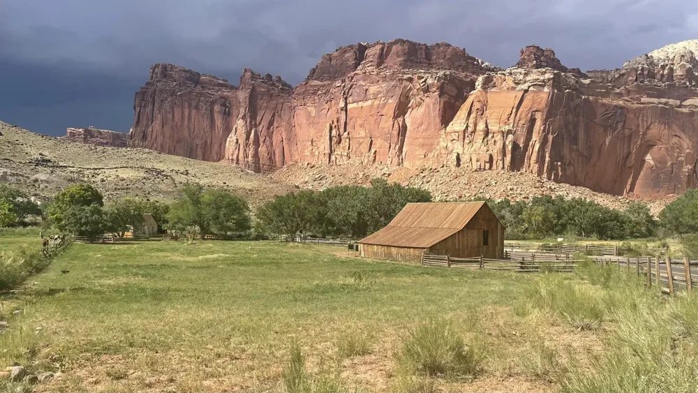
Fruita campground · regional reference photo, NPS / Recreation.gov. Sources in map popups.
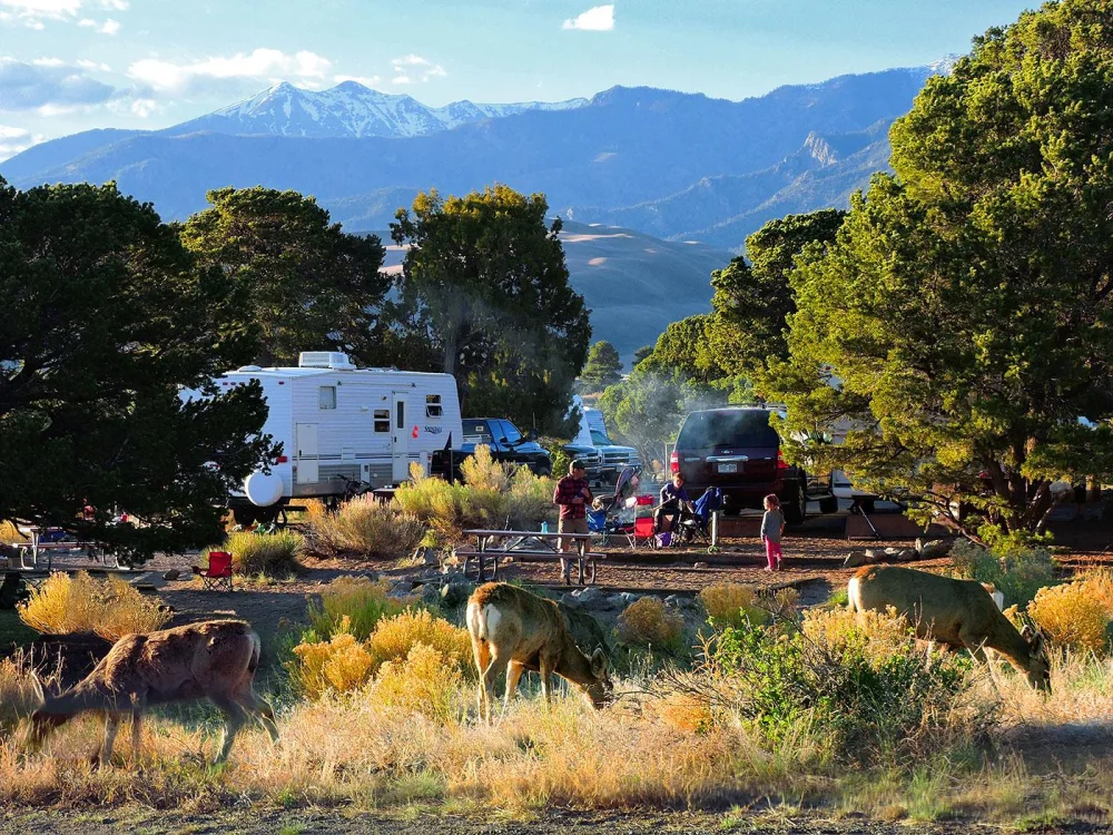
Piñon Flats Campground, Great Sand Dunes National Park and Preserve · NPS / Patrick Myers.
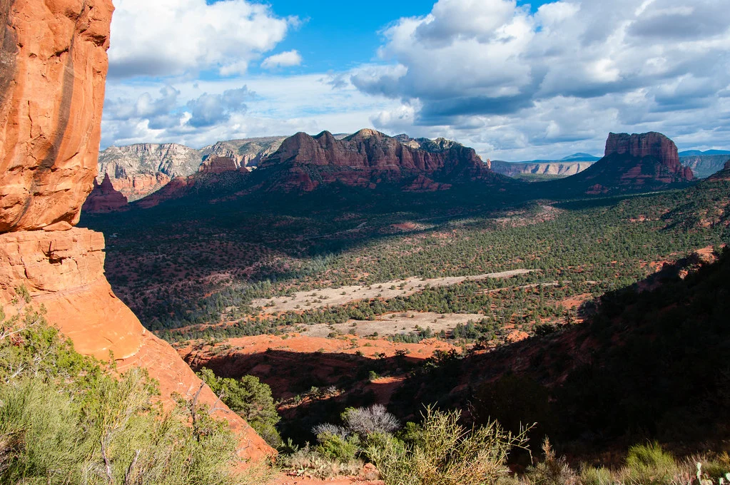
Sedona regional reference photo · Deborah Lee Soltesz / USFS · CC0.
Each map brings together campground pins, photos, fees, facilities and trailer-access notes. Filter by land manager or camping style, then open a pin to compare the details and visit the original source.
Moab and Sedona start with a 40-mile radius; Sedona includes an optional farther BLM area. The Zion map covers the wider Kanab–St. George region. Escalante, Capitol Reef and Bryce share a regional Highway 12 map. Statewide maps now cover California, Nevada, Idaho, Oregon, Washington, Utah, Colorado and Arizona. Check your full rig length, seasonal access and current restrictions before heading out.